
Satellite observations · Checking a fire claim
What does a NASA FIRMS hotspot actually establish?
A coloured point on a fire map is a useful lead. It does not, by itself, tell you that a particular building burned, how much land was damaged or what caused the heat. To check a claim with NASA FIRMS, identify the observation behind the marker, match its time and footprint to the claim, and then look for evidence that distinguishes the possible explanations.
The result you want is a statement about what the satellite detected, followed by a separate statement about what other sources establish. Keeping those two sentences apart prevents a map screenshot from carrying more meaning than its data can support.
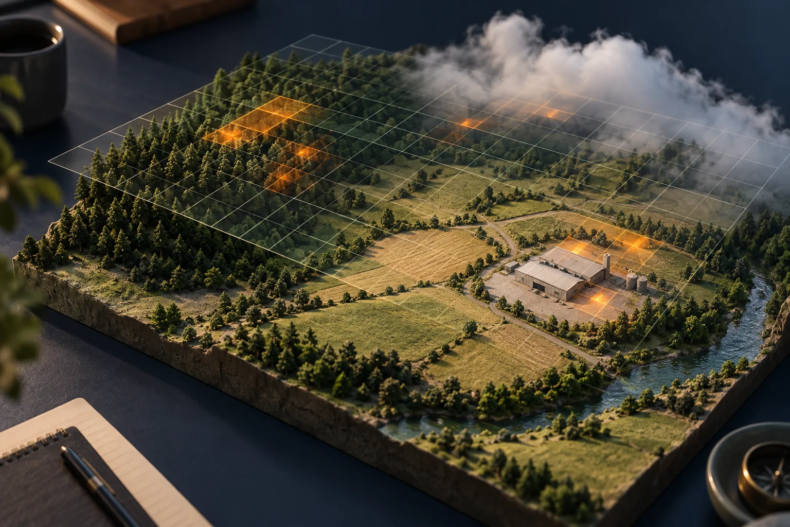
Start with the observation, not the red dot
FIRMS is NASA’s Fire Information for Resource Management System. Its fire map brings together satellite observations of active fires and thermal anomalies. A thermal anomaly is an unusually strong heat signal under the detection method’s criteria; the map is not a photograph of flames.
NASA’s MODIS explanation describes a detection’s coordinate as the centre of a flagged pixel. That is not necessarily the exact position of the heat source. MODIS pixels are approximately one kilometre at nadir, directly below the satellite, and larger toward the scan edges. Read the actual product and footprint fields rather than drawing a one-kilometre circle around every marker.
That distinction matters when a marker appears beside several facilities. The closest map label is an address hint, not an attribution rule. Zooming in enlarges the display; it does not narrow the satellite’s observation to a doorway.
Make a small observation card
Open the official FIRMS map and keep the selected layer and date range visible while checking the record. Interface labels can change, so use the current layer information and product documentation. Save these fields before interpreting the location:
- Source: satellite, instrument, product and processing version where supplied.
- Observation time: acquisition date and time, including the stated timezone. Separately record when you retrieved the data.
- Space: coordinates, footprint information and your independently established claim location.
- Quality: the confidence or quality field exactly as provided, plus its definition for that product.
- Context: imagery, cloud or visibility limitations, selected filters and any relevant earlier detections.
Do not translate a quality category into your own probability that a news story is true. NASA’s geostationary product guide shows that confidence fields differ between algorithms. A label about the detected signal does not assess a caption’s claim about a building, cause or casualty.
Keep the source URL and, when available, the downloaded record with the screenshot. A screenshot can lose the layer, time selection and individual record details. If your investigation depends on a few minutes, resolve the timezone before comparing it with a local report; our timestamp guide explains that separate task.
A worked example: heat near a warehouse
Fictional exercise: a post says, “The northern warehouse caught fire at 14:00 local time.” Its map screenshot shows three markers near a mixed industrial and agricultural area. The following evidence is invented for teaching, not a test of FIRMS accuracy.
| What you establish | What changes in the assessment |
|---|---|
| The chosen date range spans three days, and two markers belong to the previous day. | Three displayed markers are not three observations of the claimed incident. |
| The relevant observation was acquired at 10:50 UTC; the independently verified local offset was UTC+3. | The observation was at 13:50 local, before the claimed start. The timing needs explanation. |
| The pixel footprint can include the warehouse, an open yard and a nearby heat-producing facility. | The observation cannot identify the warehouse as the source. |
| An older, correctly dated record shows recurring heat near the facility. | A pre-existing source is a plausible alternative, not proof that no new fire occurred. |
| No independently located ground photograph or incident record has been obtained. | The building-level claim remains unresolved. |
A useful conclusion is: “The selected satellite record indicates thermal activity in a footprint that includes several possible sources. Its observation time precedes the claimed start by ten minutes under the verified timezone conversion. The record alone does not establish that the northern warehouse burned.”
The next step is specific: verify the original report’s timing and seek a dated, independently located observation of the building. Adding more screenshots of the same satellite record would not resolve either question.
Check recurring heat before calling it a new event
FIRMS includes supporting layers for static thermal anomalies. NASA’s 2025 explanation describes how these layers help distinguish vegetation fires from industrial or natural heat sources. Treat such a layer as contextual evidence with its own dates and limitations, not an exhaustive register of every source.
Ask whether the earlier observations fall in the same area, whether their footprint and product are comparable, and whether an independent source explains the recurring activity. A persistent pattern can change the most plausible explanation. It cannot rule out a separate incident happening nearby.
Three shortcuts that produce the wrong conclusion
Counting dots as separate fires. The same continuing event can be observed on different passes, and one footprint can contain more than one source. Group records by time, product and area before describing the pattern. Keep the original rows so the grouping can be reviewed.
Multiplying pixel area by marker count. NASA advises against treating active-fire locations as a simple burned-area estimate. A footprint is not a mapped burn perimeter. Seek an appropriate burned-area product or a documented imagery analysis for a claim about hectares lost.
Calling an empty map proof of no fire. A blank selection may reflect dates, filters, missing observations or unsuitable detection conditions. Establish what was actually observed before using an absence as evidence. Our search-coverage worksheet provides a way to record that gap.
Finish with a claim-sized finding
Your final note should preserve the claim, observation card, time conversion, alternative sources and the one fact still needed. If the question concerns what is visually distinguishable in other satellite imagery, consult the resolution guide; a thermal detection and a recognisable object are different observations.
For a broader public-source case, OSINT Jet’s manual investigation route lets you describe the unresolved question and request a scoped review. Include the data source and your competing explanations. Specify whether the missing work is checking the original report’s timing or finding independent evidence of the claimed location.
This workflow is for checking public claims. For an ongoing emergency, use the responsible local authority’s warnings and instructions rather than this research note.
Published 2026-11-03 · OSINT Jet editorial team