
MAP RESEARCH · AVOIDING TRANSFER ERRORS
OSINT coordinates: fix the format before trusting the pin
You paste two numbers into a map and get a convincing pin. That does not tell you whether you pasted them in the right order. Some coordinate mistakes produce perfectly valid locations on entirely different parts of the planet.
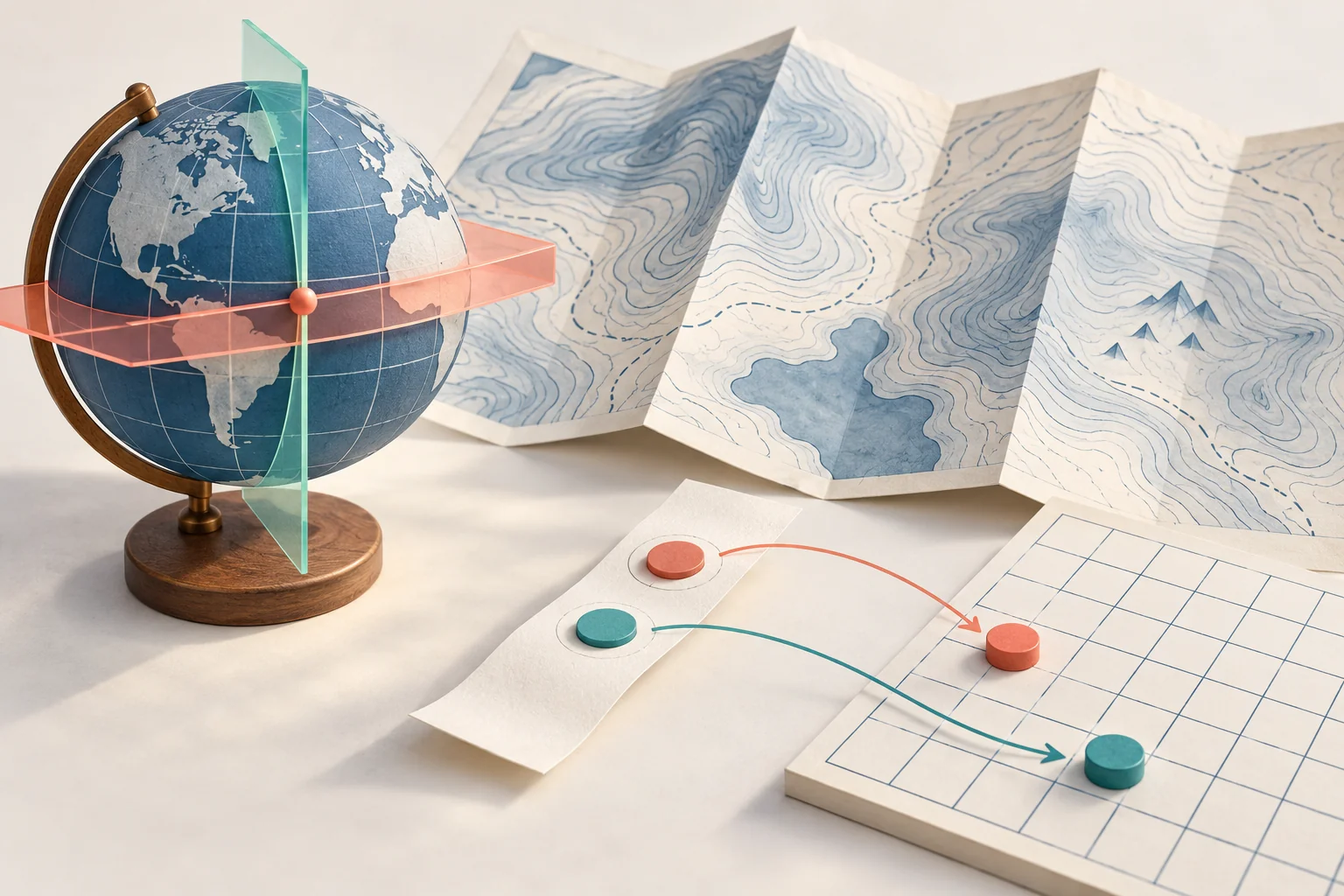
This guide starts after you already have a coordinate from a public document, a permitted image or another legitimate source. The task is to preserve its meaning while moving it into another tool. Finding where a photograph was taken is a separate task, covered in our visual geolocation guide.
The two numbers need names
Label latitude and longitude before copying anything. Google Maps’ search box expects latitude first, then longitude. Its help page also specifies decimal points rather than decimal commas, latitude from −90 to 90 and longitude from −180 to 180. See Google’s coordinate-entry instructions.
GeoJSON uses a different order: longitude, then latitude. RFC 7946 specifies WGS 84 decimal degrees for this format. This is a format rule, not permission to reorder any unidentified pair you encounter. Read the destination’s documentation; do not assume every map or spreadsheet follows one convention. See RFC 7946, position order and coordinate reference system.
A small exercise that catches a large mistake
The following numbers are synthetic training inputs. They do not identify a person, building or investigated event. Assume the exercise source explicitly says WGS 84.
Latitude:  12°30′00″ N
Longitude: 45°15′00″ W
There are 60 minutes in a degree and 60 seconds in a minute. Convert the positive magnitude first, then apply the hemisphere: north/east positive, south/west negative.
magnitude = degrees + minutes/60 + seconds/3600
latitude  = 12 + 30/60 + 0/3600 = 12.5
longitude = -(45 + 15/60 + 0/3600) = -45.25
The west sign belongs to the whole longitude. Writing -45 + 15/60 would give −44.75, a different angle. Decimal minutes are another common trap: 12°30.5′ means 12 degrees and 30.5 minutes, not 12 degrees, 30 minutes and 5 seconds.
| Destination | Representation | Check before use |
|---|---|---|
| Labelled notebook | latitude = 12.5; longitude = −45.25 | Names stay beside the values. |
| Google Maps search | 12.5, -45.25 | Latitude occupies the first position. |
| GeoJSON Point | {"type":"Point","coordinates":[-45.25,12.5]} | Longitude occupies the first position. |
Now swap the values in the map-search version: -45.25, 12.5. Both still fit the permitted numeric ranges. A range check will not catch this mistake. The labels and the original hemisphere letters will: the training source says north and west, while the swapped interpretation says south and east.
The arithmetic above was checked locally for this guide. That checks conversion and ordering; it is not a field measurement or a live investigation of either point.
Keep the raw text, even after making it readable
A coordinate can pass through a PDF, OCR, a spreadsheet and a chat message before it reaches you. Keep the original text or permitted source image alongside a clean, labelled copy. If a minus sign or hemisphere letter is missing, mark the coordinate ambiguous rather than guessing from whichever pin looks plausible.
In a multilingual document, write the numeric pair in a left-to-right block with standard digits and a visible separator. Compare it with the source after pasting. The purpose is to preserve order, not to change the language of the surrounding explanation. Do not silently replace a decimal comma until you know whether it is part of one number or separates two numbers.
When using degrees, minutes and seconds, check that minutes and seconds are each at least zero and below 60. A value such as 74 minutes should trigger a source review. It may reflect transcription or a different notation; it is not an invitation to quietly “repair” the evidence.
Some numbers are not latitude and longitude
A map reference with large easting and northing values may be a projected coordinate. For example, UTM uses zones and metre-based coordinates; copying those values into a latitude/longitude field is not a format conversion. The USGS explanation of UTM describes the distinction.
Before transforming such a reference, obtain its coordinate system, zone where relevant, units and datum. A datum is part of the reference frame that gives coordinates their meaning. NOAA’s NCAT tool distinguishes coordinate conversion and reference-frame transformation. A missing datum cannot be recovered merely by adding decimal places.
For an old document with an unidentified grid, stop at “coordinate system unresolved.” Preserve the record and request the map legend or source documentation. This is more useful than a precise-looking pin produced from an unrecorded assumption.
Precision is not evidence of accuracy
A long decimal can result from a calculator. It does not establish how accurately the original location was measured. RFC 7946 explicitly separates coordinate digits from uncertainty in its uncertainty guidance.
If your starting point is a manually selected area, state that. Do not turn “near the public monument” into “within one metre” because an export supplied six decimal places. Likewise, correctly interpreting a photo’s coordinate does not authenticate the photo or date it. The photo-metadata guide covers those source limits.
What to hand over with the pin
A useful coordinate note contains five things: the raw source notation; labelled normalized values; the known coordinate system and units; the destination format and order; and the remaining location uncertainty. Add the source link and observation date so another reader can repeat the transfer.
For the exercise, the conclusion is simply: “The supplied WGS 84 coordinate converts to latitude 12.5 and longitude −45.25; the GeoJSON order is reversed relative to a Google Maps search.” Nothing in that sentence claims who was there or what happened there.
Use this note when reviewing a location claim in an OSINT Jet report or any other research delivery. Ask to see the source coordinate and the step that produced the pin. Our guide to reading an OSINT report helps you separate a useful lead from a conclusion strong enough to act on.
Published by OSINT Jet Editorial Team · 5 October 2026