
Web Mercator distance: why map metres can mislead
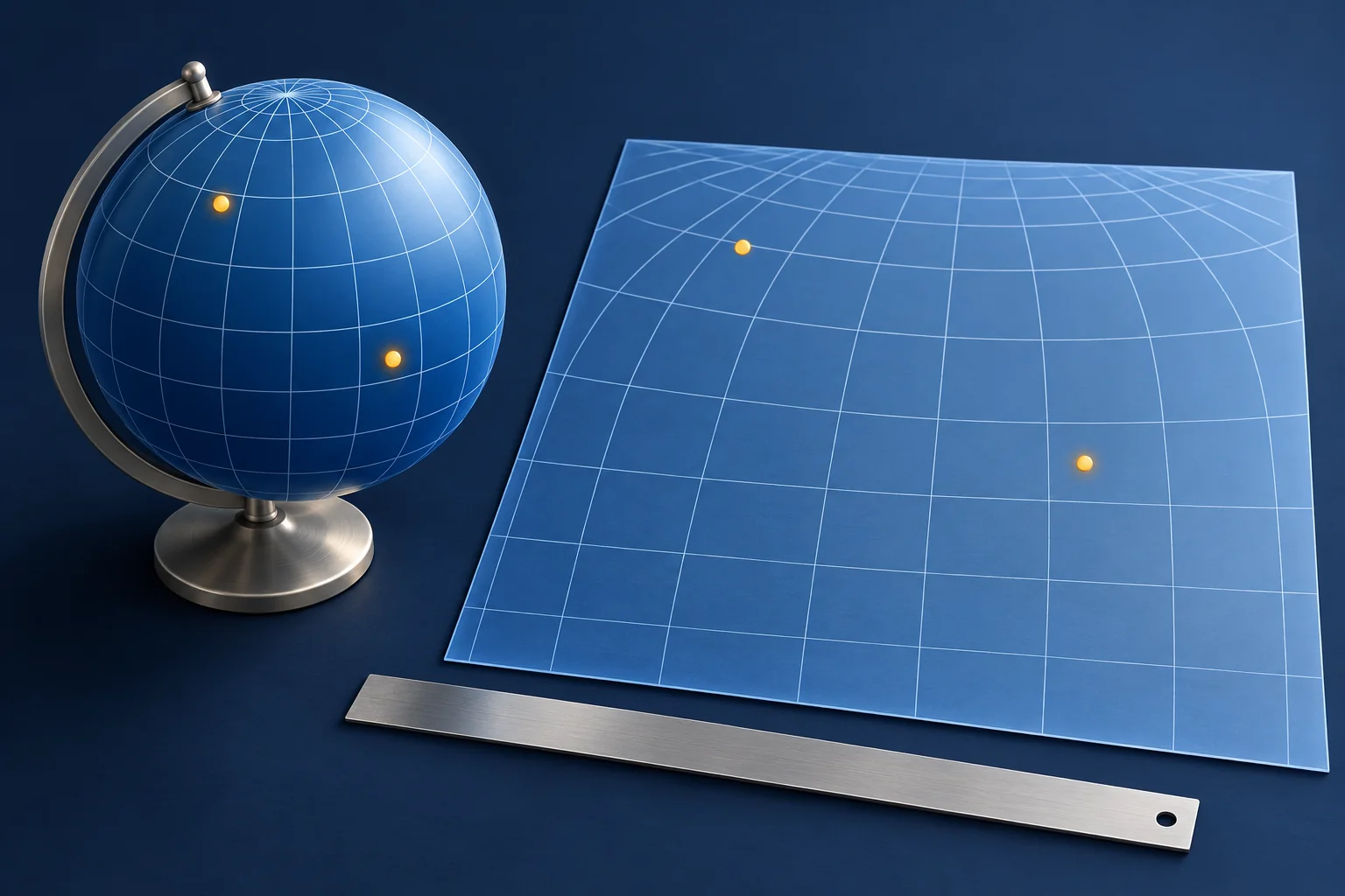
Two tools use the same endpoints and both return kilometres, yet their answers differ. Before moving either pin, check which surface and path each tool measured. A straight-line calculation in projected map coordinates, a shortest path across the curved earth model and a road route are different quantities.
This matters when a screenshot or exported GIS table is used to claim that two places are “within a certain distance”. The unit alone does not tell you whether the measurement fits the claim.
Name the distance before comparing the numbers
A planar measurement works in a flat coordinate plane. A geodesic measurement follows the curved surface of the selected earth model. Esri’s explanation of the two methods describes how projection distortion affects their difference. Mercator-style projections increasingly distort distances away from the equator.
A route measurement asks another question: how far along a specified path? A walking route may cross a bridge far from the shortest surface connection. Neither a flat-map distance nor a geodesic calculation gives you journey time, permission to cross land or the current availability of that bridge.
First confirm the same endpoints, coordinate system and units. If the pins differ, fix that earlier problem with the coordinate-format guide. If the endpoints agree, preserve them and investigate the method.
A calculation you can inspect
This is a synthetic calculation, not a field measurement. Use a sphere with radius 6,378,137 metres for both the surface-distance calculation and the Mercator projection. Compare points separated by one degree of longitude, first at the equator and then with both points at 60 degrees north. No real building or incident is being located.
| Synthetic endpoints, written latitude / longitude | Straight distance in the projected plane | Shortest surface distance on our sphere |
|---|---|---|
| 0° / 0° to 0° / 1° | 111.3 km | 111.3 km |
| 60° N / 0° to 60° N / 1° | 111.3 km | 55.7 km |
The longitude difference is identical in both rows, so the projected horizontal separation is identical. On the sphere, meridians are closer together at the higher latitude. The northern surface distance is therefore much shorter. These outputs were calculated locally and rounded to one decimal place.
The projection relationship is described in PROJ’s Web Mercator documentation. For this exercise, the projected horizontal distance is R × Δλ, with the longitude difference in radians. For equal latitudes, the spherical surface distance used here is:
2 × R × asin(cos(latitude) × sin(Δlongitude / 2))
R = 6,378,137 metres
Angles supplied to the functions are in radians.
This simple sphere deliberately illustrates the effect. It is not an ellipsoidal WGS 84 calculation or a surveying recipe. Nor does the second row authorize you to divide every web-map result by two: latitude, endpoints, projection and measurement method may all differ.
The visible basemap does not reveal the measurement algorithm
A map can display Web Mercator and still calculate a geodesic distance from the endpoints. Esri’s length-and-area documentation explicitly supports geodesic calculations on Web Mercator geometry. A familiar basemap is therefore insufficient evidence that the tool measured a flat line.
Read the tool’s mode and documentation rather than applying a correction by appearance. Save the setting or method name with the output. If an exported table contains only a column called “distance”, ask the producer how it was calculated. Decimal places and a metre unit do not supply that missing method.
A screenshot loses even more context. Its pixels are display coordinates, not automatically ground coordinates. A retained scale bar can help with a local visual estimate when its context and proportions are intact, but a cropped, resized or perspective-transformed image needs additional checks. Do not reconstruct a precise measurement from an unlabeled picture merely because a ruler can be drawn over it.
Choose the output the claim actually needs
For a public-place proximity check, a geodesic distance between clearly defined points may answer the question. For walking distance, use a stated route and travel mode. For a local engineering or boundary measurement, the coordinate system, precision and authoritative source requirements deserve specialist treatment; a general web-map screenshot is not enough.
Consider a fictional claim that an entrance is within 700 metres of a station. An independently established 650-metre shortest surface distance and a 1.1-kilometre walking route are not contradictory: they describe different paths. They also do not locate the relevant entrance unless your endpoint actually represents it. Record the entrance choice before debating the number.
Your distance note should preserve:
- The question: proximity, a specified route or another type of length.
- Both endpoints, their source, coordinate reference system and uncertainty.
- The tool, observation date, method and any route mode.
- The unrounded output, units and sensible reporting precision.
- What the result does not establish, such as access or travel time.
When two results disagree, request the same endpoint pair and named method before deciding that either source is wrong. Attach that note to the investigation brief. It turns “the maps disagree” into a question another researcher can reproduce.
Published 2026-11-03 · OSINT Jet editorial team