
VERIFYING EVENT CLAIMS
How to verify an earthquake magnitude claim
Two reports can assign different magnitudes to the same earthquake without either being fabricated. Before choosing a number, match the event, retain the magnitude type and identify the version of the estimate. Then ask a separate question: what evidence connects the earthquake to the place or damage shown in a particular post?
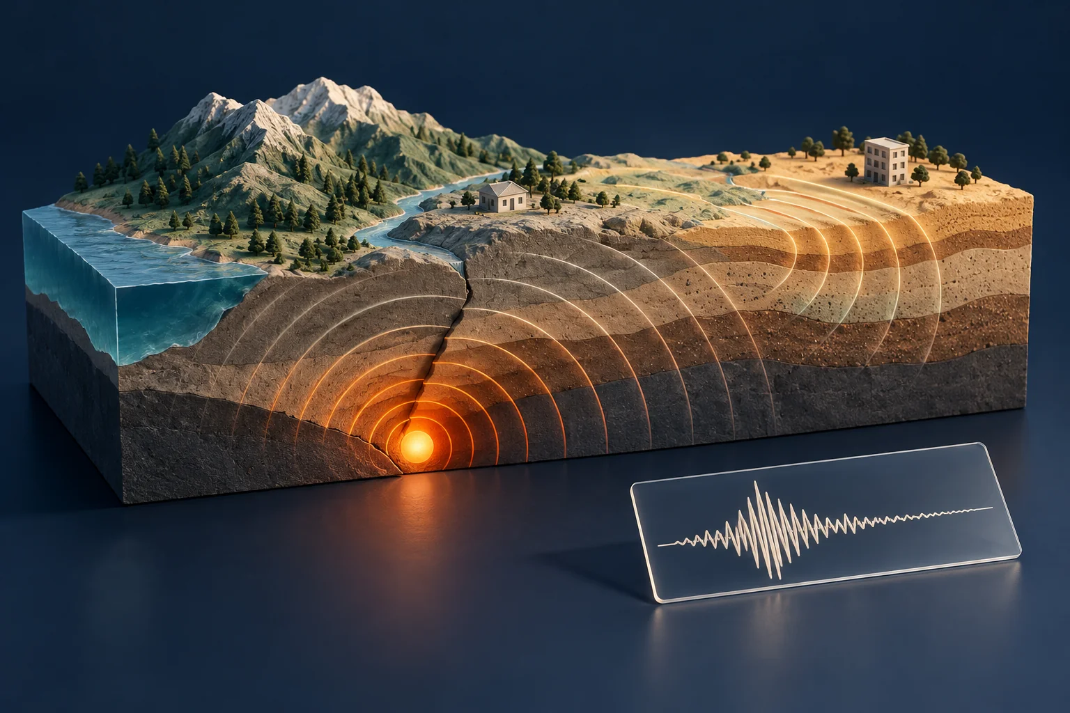
Build an event identity before comparing numbers
Start with the original seismic agency page, not a cropped notification. Preserve its event identifier, origin time and time zone, coordinates, depth, magnitude value and type, source agency, review status, and update time. The USGS earthquake catalog allows searches by time and region and distinguishes automatic from reviewed solutions.
A city name in an event title is a location reference, not proof that the rupture occurred beneath that city. Compare coordinates and distance as well as the label. Convert time zones explicitly: an event late on one calendar day in UTC can be on the next day locally. Similar location labels and nearby times can also conceal separate events in a sequence.
Record the event time and the publication or update time in different fields. Otherwise a revised estimate may look like a second earthquake, or a screenshot of an early alert may be compared with a later catalog entry as if both were issued simultaneously.
Keep the letters after the number
A magnitude without its type is an incomplete citation. Agencies may use different methods, station data and reporting procedures. The USGS explanation of inter-agency differences notes that estimates can differ because of methodology, available data and uncertainty. Do not average two numbers yourself and present the result as an official value.
The USGS also explains why estimates are revised: additional recordings arrive and more detailed analysis becomes possible. A changed value can be a normal update. Preserve the earlier source if your task concerns what was reported at a particular time; use the later source, clearly dated, when describing the current catalog estimate.
Magnitude does not tell you how every place shook
Magnitude describes the size of the source event. Shaking intensity varies by location. Distance, depth and local ground conditions help explain why the same event can be experienced differently in different places. The USGS magnitude and intensity guide explains this distinction.
Use an event’s ShakeMap, when available, for an estimate of ground motion or intensity across the affected area. Read the product version and legend. A colored area is not a building-by-building inspection, and the model does not authenticate a photograph. A claim that a particular wall collapsed still needs evidence from that location and time.
A fictional newsroom exercise
The following numbers and places are invented for training. At 09:12 UTC, a regional bulletin reports an event near Harbor Town as 5.6 ML. At 09:46, another agency publishes 5.4 Mw for an event with matching origin time and nearby coordinates. A social post combines the first number with a photograph of a damaged warehouse in Ridge City.
| Question | Check | What you can conclude |
|---|---|---|
| Are the bulletins about one event? | Compare origin time, coordinates, depth and agency event references. | A match supports treating them as reports of the same event; the place label alone does not. |
| Which magnitude should the report cite? | Preserve agency, type and issue time for each estimate. | Explain the two estimates. Do not silently replace ML with Mw or declare one false from the difference alone. |
| Does the earthquake explain the warehouse photograph? | Establish the image’s location and earliest available publication, then compare the event and local evidence. | The bulletins alone cannot attribute that image to this earthquake. |
Suppose the identical warehouse photograph was publicly posted a month earlier. That would defeat its presentation as a new image from this event, even if the earthquake report itself is accurate. Suppose instead the image is newly uploaded but its location is unknown. The attribution remains unresolved; a new upload date does not settle capture time or place.
For this second part, use the image-geolocation workflow. Treat visible landmarks as testable clues. Do not force them to fit the city named in the earthquake headline.
Write a versioned conclusion
A clear finding could say: “Agency A initially reported 5.6 ML; Agency B later listed 5.4 Mw for a matching event. Both sources and observation times are retained. The warehouse image has not yet been tied to that event.” That wording preserves the measurement distinction and the unresolved media claim.
For a reusable evidence note, keep this compact record:
- Event: agency identifier, origin time with zone, location and depth.
- Estimate: number, magnitude type, reporting agency, review state and issue time.
- Local claim: named site, exact claim and supporting ground-motion or observational source.
- Media: original URL, earliest located copy, location evidence and remaining uncertainty.
- Version: access time, saved source and any later correction.
Place these notes in the investigation report template so readers can follow the source trail. This workflow checks public claims; it cannot determine whether a building is safe or replace official emergency guidance.
Published 22 October 2026 · OSINT Jet