
Environmental evidence · Reading river measurements
River gauge height: which zero is the water measured from?
A river gauge reading of seven metres does not, by itself, mean the river is seven metres deep. Nor does it establish that the water surface is higher than at another station reporting four metres. Before comparing the numbers, find the reference point each station uses.
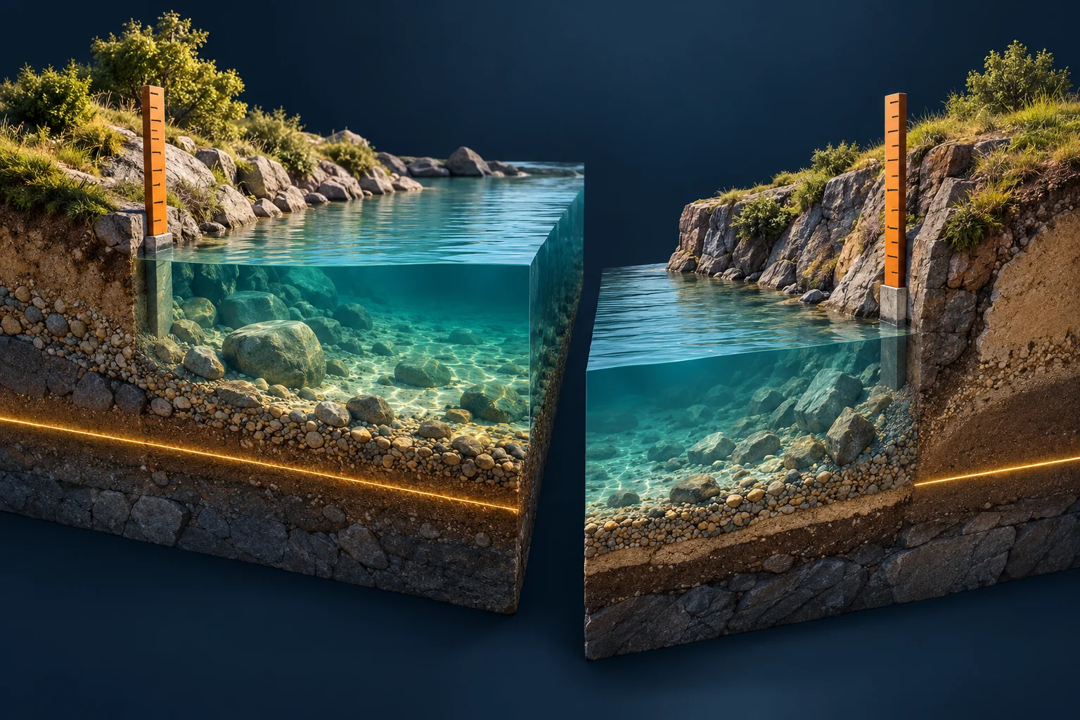
This matters when a public post turns a river-level chart into a claim about a town, bridge or flood photograph. The chart may be accurate while the sentence attached to it asks the number to answer a different question.
Name the quantity before comparing the numbers
Stage, or gauge height, measures the water surface relative to the station’s reference zero. USGS spells it “gage height” and explains that the reference is selected for the individual site. It is not simply the riverbed. See its explanation of gage height and datum.
Depth asks how far the water surface is above the bed at a specified point. Water-surface elevation asks where that surface sits in a stated vertical reference system. A reading that supplies only stage leaves both the bed and the wider reference unresolved.
Discharge answers another question: how much water passes a location per unit of time. Its units are a volume divided by time, such as cubic metres per second. USGS describes how stage records and discharge measurements are connected through an established relationship at the site in How Streamflow is Measured. A value labelled metres is not already a flow rate.
The seven-metre station can have the lower water surface
Here is a deliberately simplified, fictional exercise. Both readings refer to the same instant. Assume the station documentation gives the elevation of each gauge zero in the same vertical reference system, in metres, with no unresolved conversion or datum change. No bed elevations or discharge measurements are supplied.
| Fictional station | Stage above local zero | Elevation of local zero | Calculated water-surface elevation |
|---|---|---|---|
| A | 4 m | 100 m | 104 m |
| B | 7 m | 94 m | 101 m |
water-surface elevation = gauge-zero elevation + stage
A: 100 m + 4 m = 104 m
B:  94 m + 7 m = 101 m
B has the larger stage reading, but A has the higher water surface in the exercise’s common reference. Nothing in the table tells us which river is deeper, which carries more water, or whether either place has flooded. Those are missing measurements or separate local assessments, not results to infer from the larger printed number.
Now remove the “elevation of local zero” column. The calculation cannot be completed. That is the stopping rule: do not rank absolute water-surface elevations from unrelated local stages when the reference information is missing. Writing “datum unavailable” preserves the limit; assuming both zeros mean sea level conceals it.
Recover the chart’s context before doing arithmetic
Open the provider’s original station page, rather than relying on a cropped graph. Save the station identifier and the exact parameter label. A river name alone may identify several monitoring locations. If a map coordinate is part of the match, preserve its labels and coordinate system; our coordinate-format check covers transfer errors.
Capture the units, observation time and time zone. Distinguish an instantaneous reading from a daily statistic or a selected peak. A maximum from last week and a current reading are not a simultaneous comparison, even when both screenshots were saved today.
For an elevation comparison, locate the station’s datum description and any applicable history. “Metres” tells you the unit, not the zero. If one record uses a different vertical datum, the simple addition above does not make the two results comparable. Obtain an authoritative transformation appropriate to those records, or keep the comparison unresolved.
Keep the observation date separate from the retrieval date. USGS labels data provisional until review and approval; instrument problems or physical changes can lead to revisions. Its provisional-data statement explains why a later download may differ. Preserve the copy used for your finding and label a later revision separately.
A stage change is not a proportional flow change
At one station with an unchanged reference, a rise in stage describes a higher local water surface. It does not supply a universal conversion to discharge. USGS explicitly says the stage–discharge relationship differs between locations. Do not apply another station’s curve or turn a doubling of stage into a doubling of flow.
Use the provider’s discharge series when that is the quantity the claim needs, and retain its units and qualification flags. For a photograph, first establish the scene’s location. A correctly interpreted gauge several kilometres away does not automatically measure water against the photographed wall. The image-geolocation workflow addresses that earlier step.
Put the reference in the finding
For the exercise, write: “A’s calculated water surface is 104 m and B’s is 101 m in the supplied common vertical reference. The larger stage at B does not establish greater depth or discharge.” This gives a reader the result and the condition that makes it valid.
Attach the station records, parameter names, timestamps, datum descriptions, saved values and calculation. Use the OSINT Jet report template to keep the original comparison beside the corrected claim. The useful output is a measurement someone else can interpret without guessing where zero begins.
Published 2026-11-03 · OSINT Jet editorial team